 NIWA - Metadata Catalogue
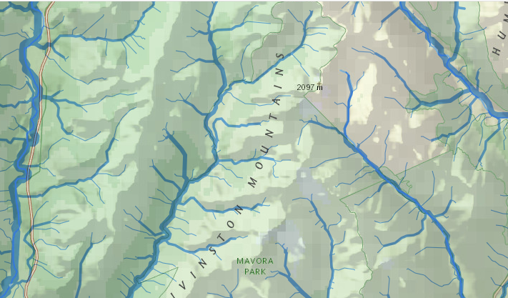
REC riverlines v2.5 (River Environment Classification)
NIWA REC 2v5 (River Environment Classification)
The REC has been used to classify all the rivers of New Zealand at a 1:50,000 mapping scale. The area classified comprises 267,000 km2 and 426,000 km of river network. This datasets is for the River Lines.
Attributes associated directly with network:
Field - Type - Description:
Catarea Real Watershed area in m2
CUM_Area Real Area upstream of a reach (and including this reach area) in m2.
Nzsegment Integer Reach identifier to be used with REC2 (supersedes nzreach in REC1).
nz_fnode Integer Unique number of preceding river segment's outlet node.
nz_tnode Integer Unique number of following river segment's inlet node.
Lengthdown RealThe distance to coast from any reach to its outlet reach, where the river drains (m).
Headwater Integer Number (0) denoting whether a stream is a “source” (headwater) stream. Non-zero for non-headwater streams.
Hydseq Integer A unique number denoting the hydrological processing order of a river segment relative to others in the newtork.
StreamOrder Integer A number describing the Strahler order a reach in a network of reaches.
euclid_dist Real The straight line distance of a reach from the reach “inlet” to its “outlet”.
upElev Real Height (asl) of the upstream end of a reach section in a watershed (m).
downElev Real Height (asl) of the downstream end of a reach section in a watershed (m).
upcoordX Real Easting of the upstream end of a river segment in m (NZTM2000).
upcoordY Real Northing of the upstream end of a river segment in m (NZTM2000).
downcoordX Real Easting of the downstream end of a river segment in m (NZTM2000).
downcoordY Real Northing of the downstream end of a river segment in m (NZTM2000).
sinuosityReal Actual distance divided by the straight line distance giving the degree of curvature of the stream
nzreach_rec1 IntegerThe REC1 identifiying number for the corresponding\closest reach from REC1 (can be used to retrieve the REC management classes)
headw_dist Integer Distance of the furthermost “source” or headwater reach from any reach (m).
Shape_length RealThe length of the reach (vector) as calculated by ArcGIS.
Segslpmax Real Maximum segment slope along length of reach.
Segslpmean Real Mean segment slope along length of reach. LID Integer Lake Identifier number(LID) of overlapping lake.
Reachtype Integer A value of 2 is assigned if the segment is an outlet to the lake, otherwise 0 or null.
nextdownid integer segment number of the most downstream reach
|
|
Citation proposal
. REC riverlines v2.5 (River Environment Classification). https://dc.niwa.co.nz:/niwa_dc/srv/api/records/0abeee37-9805-459a-8c9f-b0f488775aa0 |
INSPIRE
Identification
- File identifier
- 0abeee37-9805-459a-8c9f-b0f488775aa0 XML
- Hierarchy level
- Dataset
Online resource
- Protocol
- WWW:LINK-1.0-http--link
Resource identifier
- Metadata language
- English
- Spatial representation type
- Vector
Encoding
- Format
- SDE Feature Class
- Format
- Esri Web Service
- Version
- Geoservice
Projection
- code
- 2193
Classification of data and services
- Topic category
-
- Inland waters
- Geoscientific information
Classification of data and services
Coupled resource
Coupled resource
Classification of data and services
Coupled resource
Coupled resource
Keywords
- Keywords
-
- Downloadable Data
Other keywords
- Keywords ( Theme )
-
- River
- Model
Geographic coverage
))
Temporal reference
Temporal extent
Temporal extent
- Date
Quality and validity
Conformity
Conformity
Conformity
Conformity
Conformity
Conformity
Restrictions on access and use
Restrictions on access and use
Responsible organization (s)
Contact for the resource
- Organisation name
- NIWA
- [email protected]
Responsible organization (s)
Contact for the resource
- Organisation name
- NIWA
- [email protected]
Metadata information
Contact for the metadata
- Organisation name
- Tilmann
- [email protected]
- Organisation name
- NIWA
- [email protected]
- Organisation name
- Organisation name
- NIWA
- [email protected]
- Organisation name
- NIWA
- [email protected]
- Date stamp
- 2022-11-14T17:29:05
- Metadata language
- English
- Character set
- UTF8
SDS
Conformance class 1: invocable
Access Point URL
Endpoint URL
Technical specification
Conformance class 2: interoperable
Coordinate reference system
Quality of Service
Access constraints
Limitation
Use constraints
Limitation
Responsible custodian
Contact for the resource
Conformance class 3: harmonized
Overviews
Provided by
